877-622-3511
M-F 9AM EST - 5PM FRI 9AM
EMAIL US
SEND US YOUR FEEDBACK
Live Chat
M-F 9AM EST - 5PM FRI 9AM
Location
249 NY-32, Central Valley, NY 10917
A GPS GNSS survey is a data collection technique that utilizes Global Positioning System (GPS) and Global Navigation Satellite System (GNSS) technologies to determine precise positions on the Earth’s surface. This survey method involves using specialized GPS/GNSS receivers to collect location data, which can be further analyzed for a variety of applications such as mapping, navigation, geodesy, and surveying
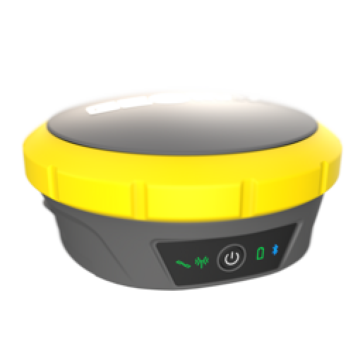
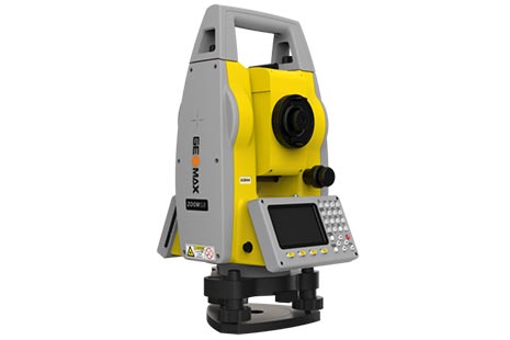
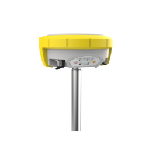
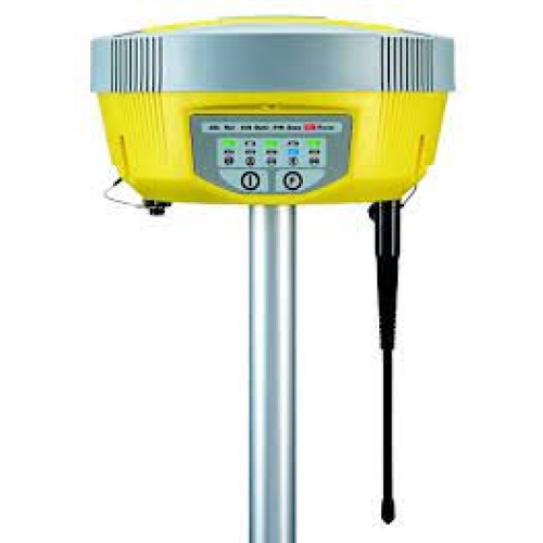
GeoMax Zenith60 Trust your results, and work quickly and flexibly.
Gain productivity and efficiency by using the calibration-free tilt feature of the Zenith60, which makes each survey quicker and more practical. You can feel secure knowing your data is reliable because the antenna is immune to magnetic interferences. The Zenith60 performs at its highest level when used in conjunction with GeoMax field controllers and X-PAD Ultimate field software. The ease of use offered by X-PAD reduces the necessity for training. Additionally, X-PAD Ultimate includes free software maintenance. Maintaining an active X-PERT subscription allows you to continue benefit from new software advancements.
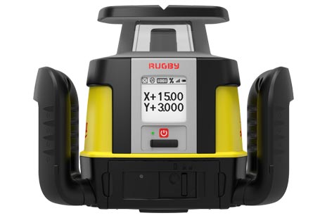
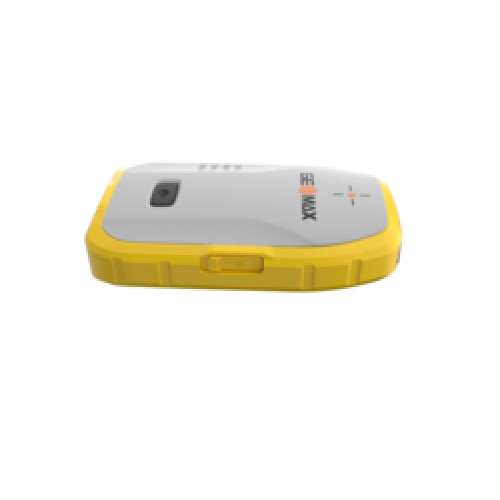
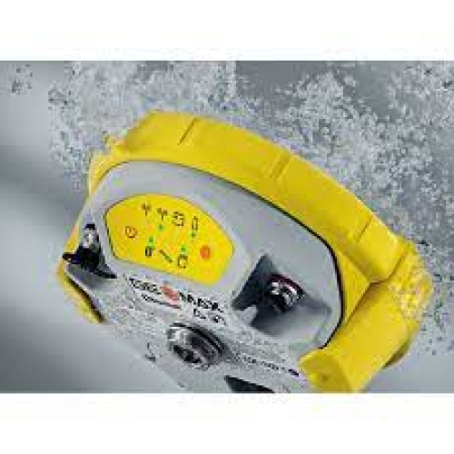
The Zenith16 is our answer to the ideal price-performance ratio because it offers dependable technology at a reasonable cost.
Combined with X-PAD software, this receiver unlocks its full potential.
Take advantage of Hexagon’s cutting-edge technology and the alliance with premium brands like SATEL and NovAtel to enhance productivity and lower failure rates.
GeoMax wants to provide consumers the freedom to decide which functionalities they actually need in order to complete their tasks. Due to this, there are two versions of the Zenith16 receiver: one with and one without an integrated SATEL radio.

No account yet?
Create an AccountLorem ipsum dolor sit amet, consectetur adipiscing elit, sed do eiusmod tempor incididunt ut labore et dolore magna aliqua.
StallionSupplies.com is committed to providing our customers with the best price available online. We work hard to offer the most competitive pricing available, but if you find a lower price online, let us know and we'll beat or match it!
Best Price Guarantee Terms and Conditions:
- Item must be the identical model from an authorized U.S. dealer. Specifically, the product must have the same U.S. manufacturer's warranty, model number, and contain the same components. StallionSupplies.com will price match only in-stock products.